


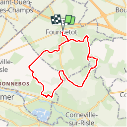

14,6 km | 18,6 km-effort


Usuario


Aplicación GPS de excursión GRATIS
 SityTrail
IGN / Institutos geográficos
SityTrail World
El mundo es suyo
Ruta Patinaje de 15,1 km a descubrir en Normandía, Eure, Le Perrey. Esta ruta ha sido propuesta por MichelRando7656.
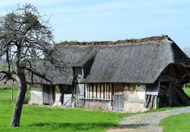
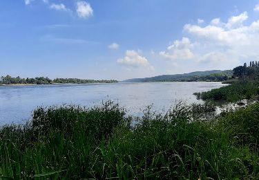
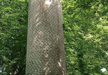
Superbes sentiers entre champs ou travers bois. Beaux paysages et superbes demeures. Quelques petites routes goudronnées à travers les villages.

Senderismo
A pie
Senderismo
Senderismo
Senderismo
Senderismo

Senderismo
Senderismo